
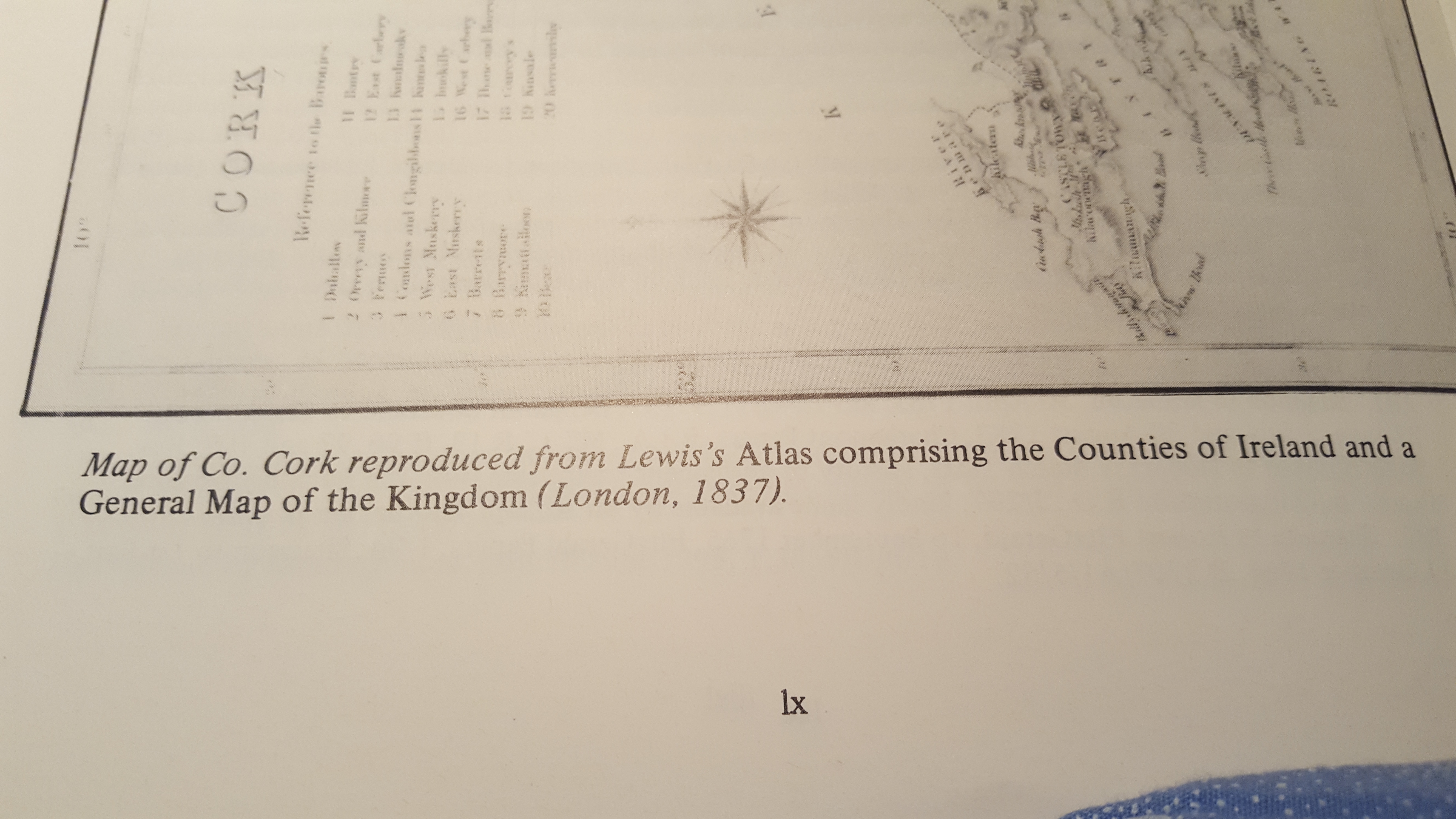
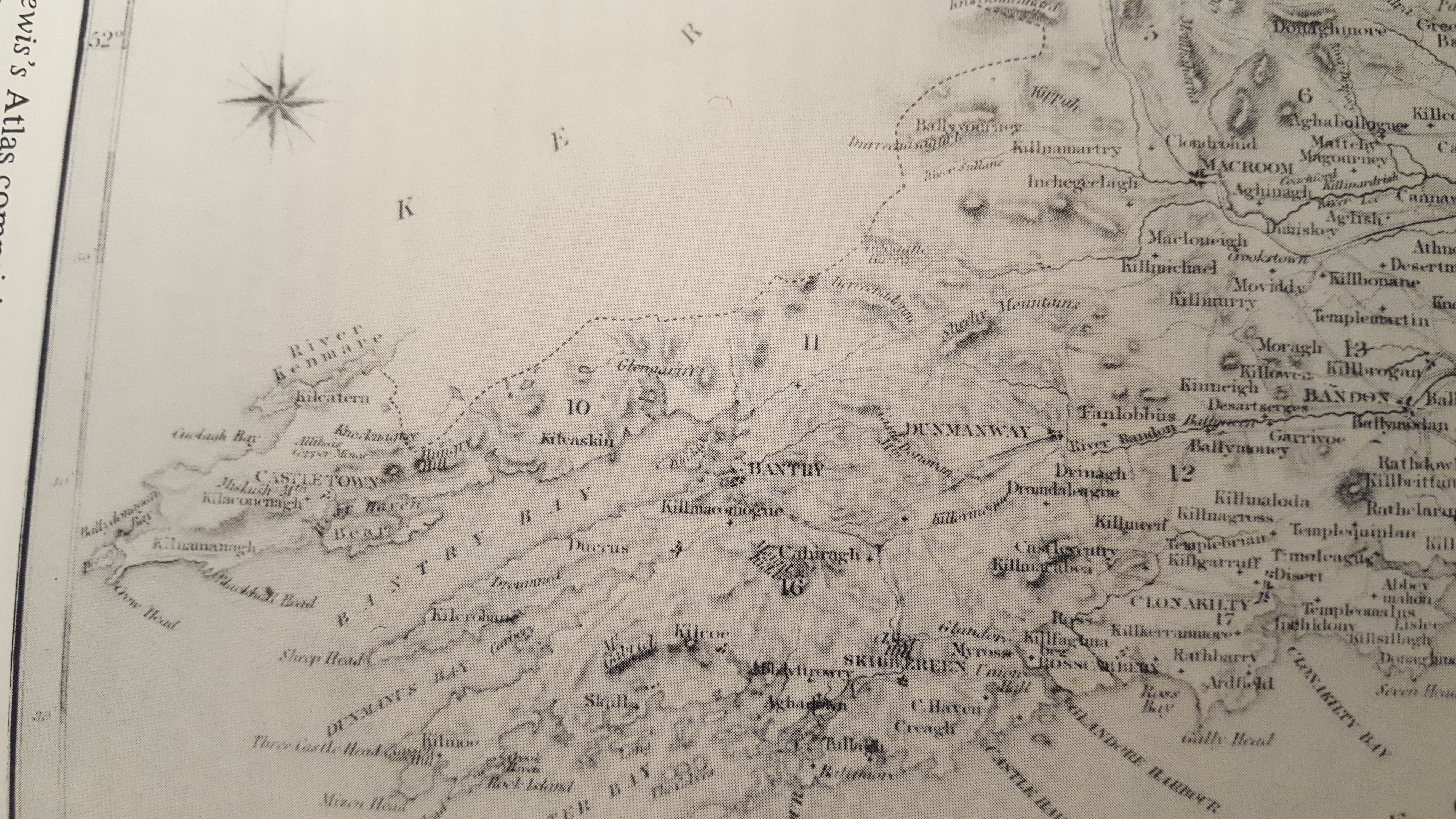
1837. Map of West Cork and some Earlier Maps.
Tudor Map of The Barony of Carbery Showing Location of Families, Prior to Confiscations, Forfeitures and Plantations.
1871. Linguistic Map Ireland. Majority Irish Speaking, Parts of Ballydehob, Beara, Caheagh, Clonakilty, Garretstown, Muskerry, West Cork
1811 Grand Jury Map, Goleen, Schull, Ballydehob, Durrus, Kilcrohane, West Cork.
Early Map of Baltimore, West Cork (Between 1605-1640), showing English Settlement, Dunasead Castle, Sherkin Island, Loo Rocks, Storehouse for Preserved Fish, 12 Fishing Boats, Seine Pilchards, 5 Possible Royal Navy Boats.
Map Cork Bandon and South Coast Railway c1900
A Projection as to how Cork Plantation Towns, Bandon, Clonakilty and Projected Baltimore, Newcestown might have looked Ironmongers and Vintners Companies, London, Houses At Bellaghy, Co. Derry Maps by Tomas Raven, 1625, of Londonderry plantation undertaken a order of Sir Thomas Phillips.
1750 Map of Baronies of Carbery and Bantry, Co. Cork
…
