From Doctor Albert Casey’s Collection:
Doctor Albert Casey, Birmingham, Alabama, USA, complier of O’Kief Coshe Mange, Four Million Irish Records.
Francis Jobson’s Map of West Cork, 1589 including Cape Clear (Iniskyran), Baltimore, O’Driscolls, Rosbrin, Crookhaven, Bantry, Muintervara land of Rymers (O’Daly’s Bardic School), O’Sullivan Bere, Priest’s Leap.
Map of Old Dioceses of Ross.
https://wordpress.com/block-editor/post/durrushistory.com/34221
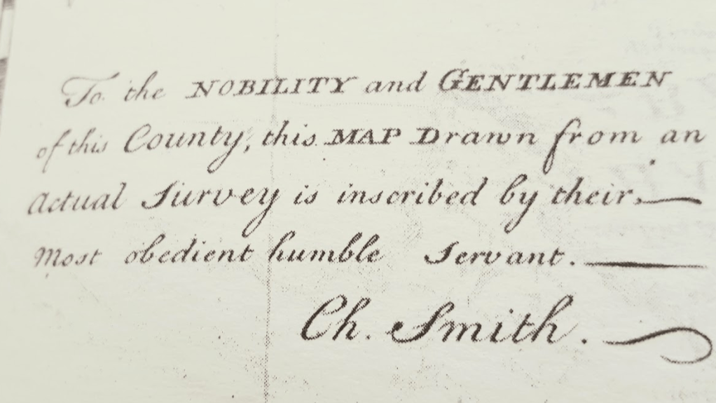
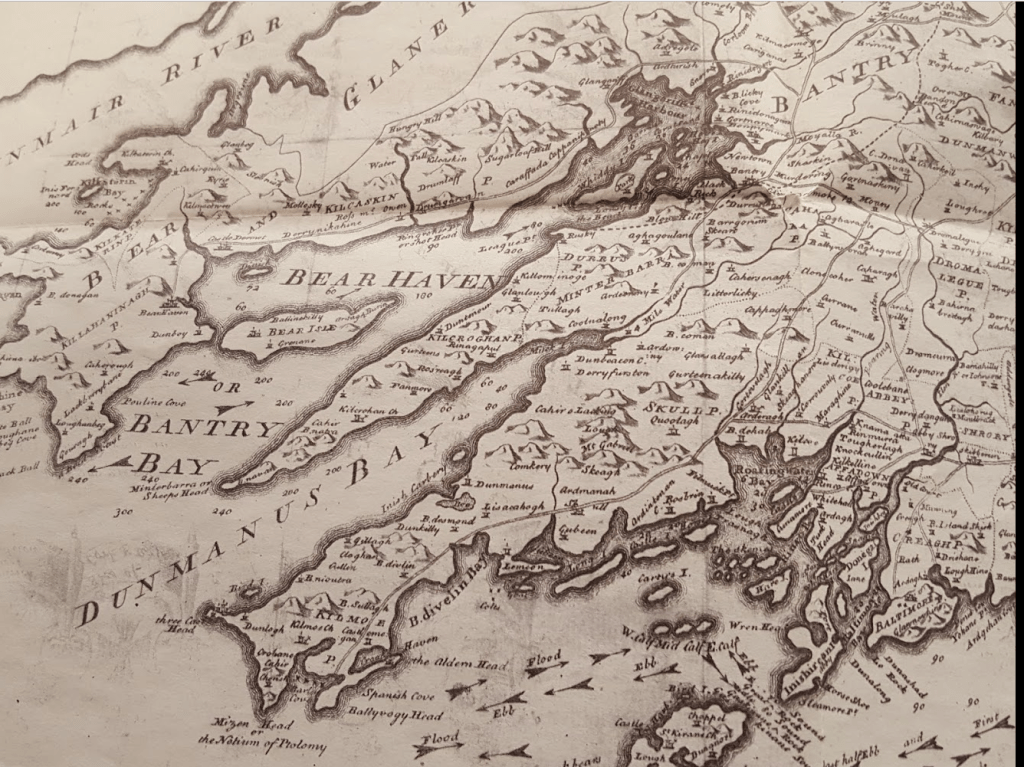
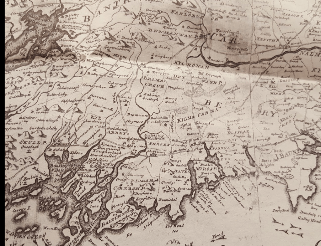
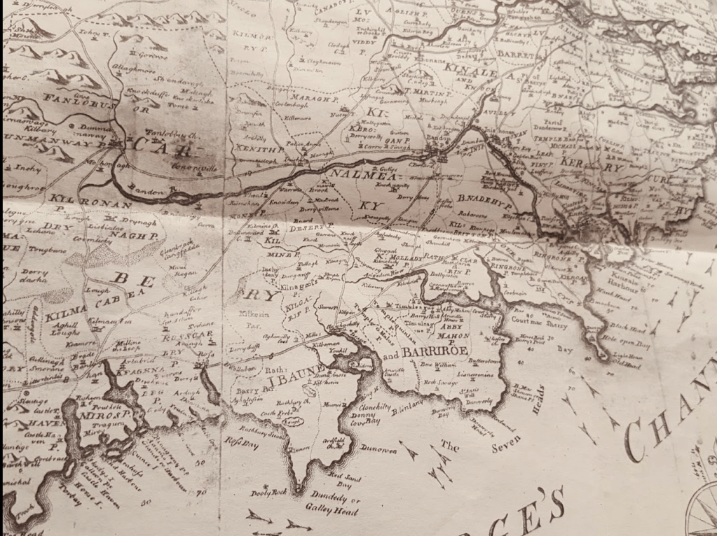
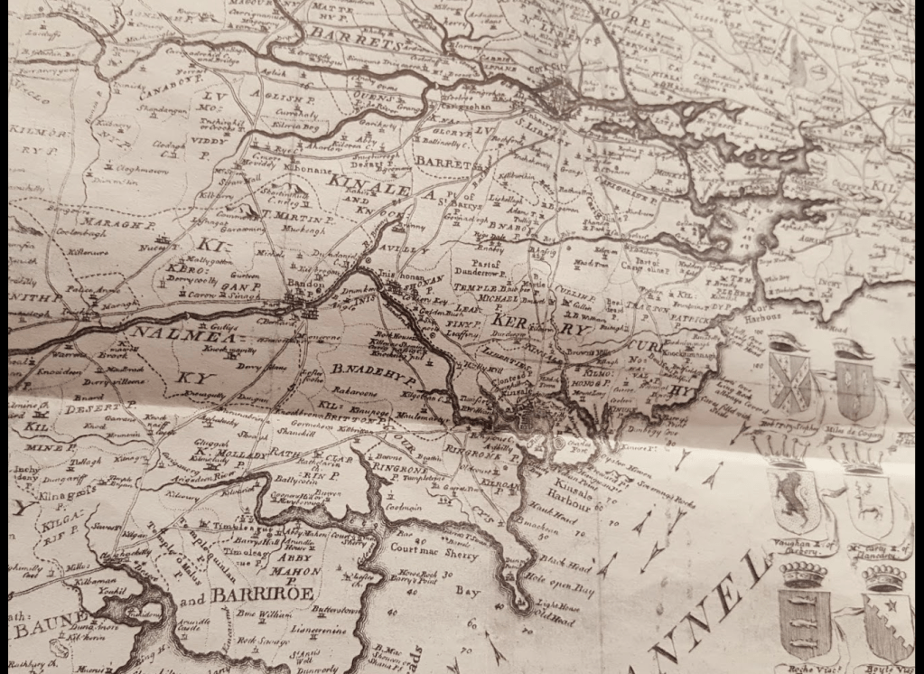
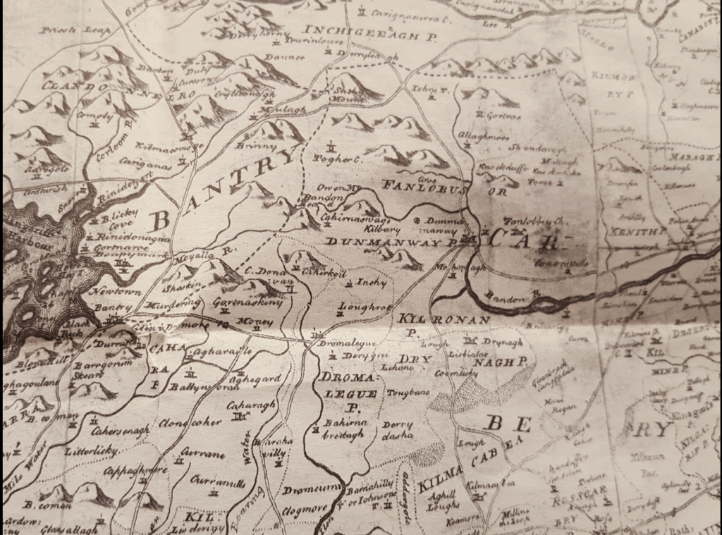
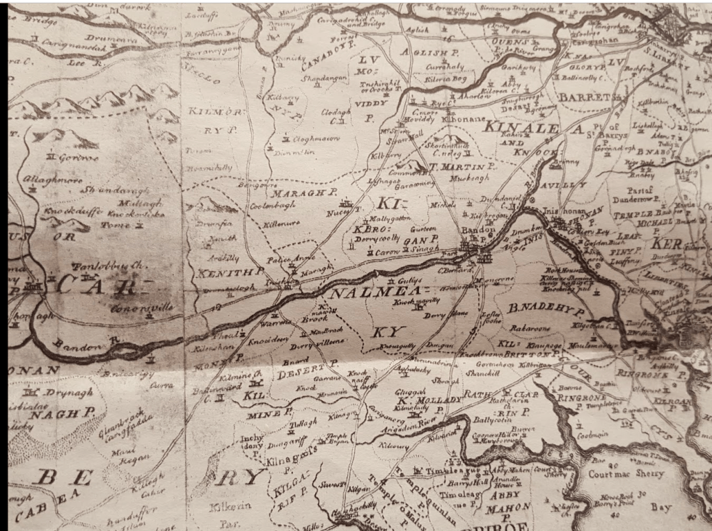
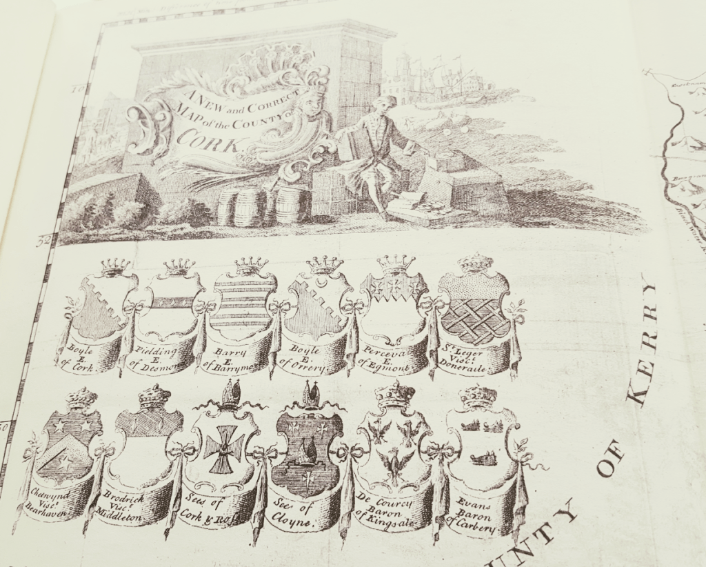
1837. Map of West Cork and some Earlier Maps.
https://wordpress.com/block-editor/post/durrushistory.com/33703
Tudor Map of West Cork Showing Location of Families
Tudor Map of The Barony of Carbery Showing Location of Families, Prior to Confiscations, Forfeitures and Plantations.
https://wordpress.com/block-editor/post/durrushistory.com/34852