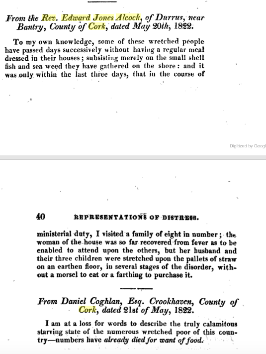
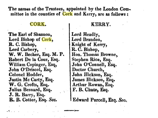
..
The background seems at the start of the Penal Laws to be that those affected by Tory activity, house burning etc would bring an action before the Magistrates and then an execution penal fine would be levied. Looking at those against whom the levies were made Meades, Moroghs, Galweys, O’Sullivans of Bantry significant merchants or parish priests. Incidentally some family members of those had converted to the Church of Ireland by mid 18th century. Period 1712-1772.
Many of the same Magistrates appear a lot of whom are listed as Bridge Overseers for Co. Cork under the Grand Jury for the period.
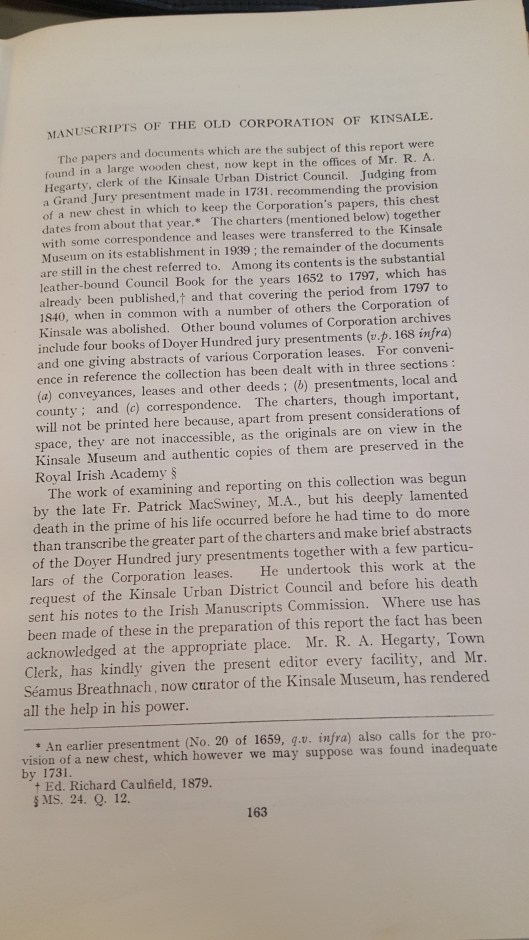
McLysaght Analecta Hibernia, No. 14, 1944, Transcriptions, Conor Papers, Manch, Kinsale Corporation from 1594.
…
1712-1772, Co. Cork, Executions (Debt Collection) Obtained. Parties Named, some addresses some Bantry, Berehaven, Glengariff, Castlehaven.
Many of the Magistrates involved are also listed as Bridge Overseers in the Cork Grand Jury Records 1709.
https://docs.google.com/document/d/1pJok8mzM29v09-JYfaucXT17VBQhGekUZc9peMRvwps/edit?usp=drive_web&ouid=100968344231272482288
Transcribed 1944 by Dr. Edward McLysaght from bundles of old documents in a chest in the Town Clerk’s Office, Kinsale.
Most of those listed against whom judgements were obtained were of substance. In Bantry, the Galweys, Meades, Muroghs feature all prominent in pilchard fishery. Richard Goodwin in wha is probably Comhoola 1712 got a judgement may have been involved in wood extraction and smelting. The family are later prominent in Bantry
1712, William Archer, execution of £18 against Dermod McHugh and John Casey, both Bantry.
1712, Magistrates Hugh Hutchinson (later Clonee, Durrus) and Michael Parker execution in favour of Richard Godwin, Comhoola, for £18 against Dermod Lyne, Ardgroom, Florence Sullivan, Glengariff.
1713, execution in favour of Francis Boyce for £18 against John Mort Sullivan, Charles Mccarthy, Berehaven.
1714, Execution in favour of Thomas Holmes, for £43 against Andrew Morogh, merchant, Denis Hurley, farmer, both Bantry.
- Execution of £24 in favour of John Harrison against Henry Galwey, Nicholas Meade both Bantry.
…
…


")

")


")