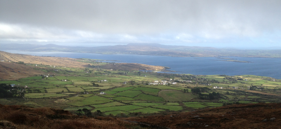
Iarnród – between Ballydehob and Schull 1939
In the heydays of transport by rail, the south of Ireland was served by a network of lines radiating out from Cork. Most of these were scenically picturesque – the nature of the countryside saw to that – and all were imbued with Stories, still recounted with relish by the local people who remember them, or whose mothers and fathers remembered them. Here’s one of the stories – told about the Chetwynd Viaduct, coming out of Cork on the way to Bandon.
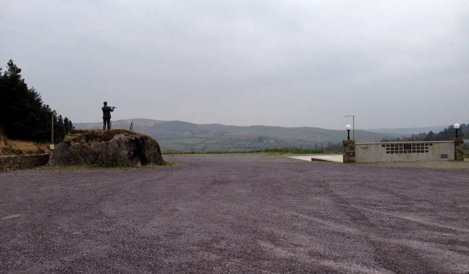
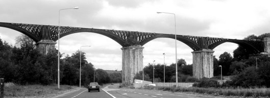 Chetwynd Viaduct today
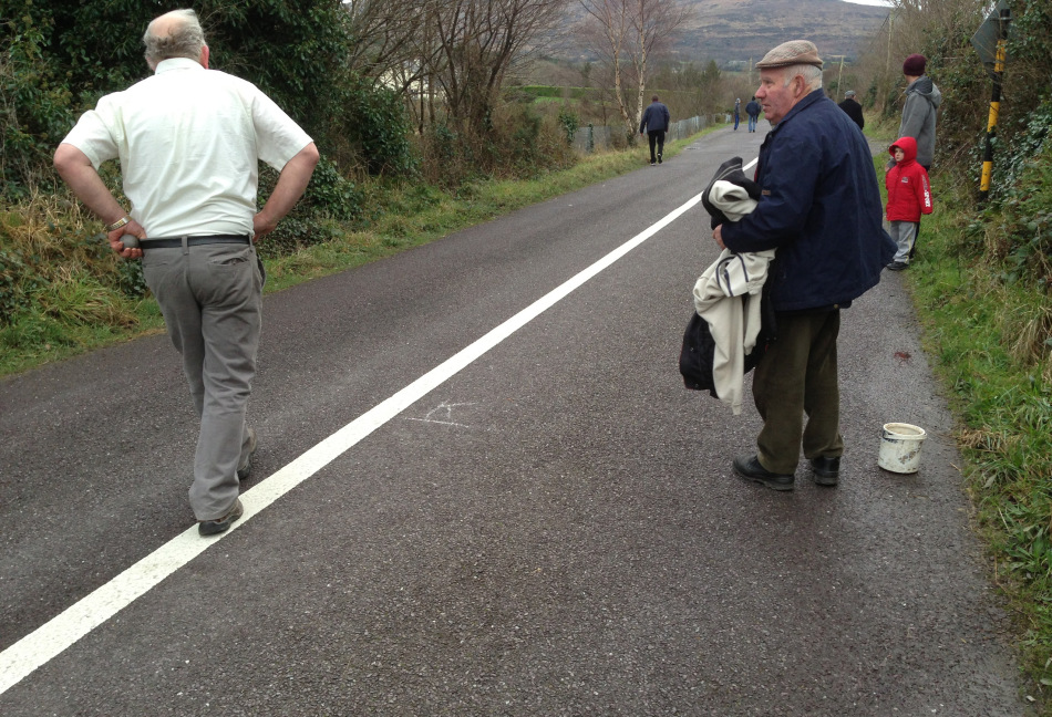
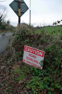
This structure was designed by Charles Nixon, a pupil of Isambard Kingdom Brunel, and built between 1849 and 1851. It’s still in place today, passing over the main N71 road from Skibbereen, and is a scheduled monument. The railway, track and track bed have all gone. For quite a while after its construction it was known as “The Bowlers’…
View original post 484 more words


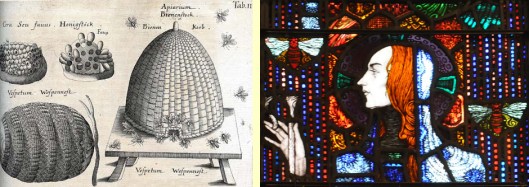 Right: Harry Clarke’s St Gobnait