Lease of Three Ploughlands at Ballydevlin (Goleen), West Cork, 1766 names mentioned Hull of Gunpoint, Driscoll of Collisbea. Mahony of Lisgriffin, McCarthy of Bandon, Meade, Brown, Freke.


durrushistory's avatarWest Cork History

https://www.google.ie/maps/place/Ballydivlin,+Co.+Cork/@51.5046277,-9.6964162,15z/data=!3m1!4b1!4m2!3m1!1s0x484584e67a9565b5:0x2600c7a819c821a2

Lease of Three Ploughlands at Ballydevlin (Goleen), West Cork, 1766 names mentioned Hull of Gunpoint, Driscoll of Collisbea. Mahony of Lisgriffin, McCarthy of Bandon, Meade, Brown, Freke.

Cornelius Driscoll features a lot as a Middleman on the Mizen peninsula from this period as do two Alexander O’Driscolls.

From Registry of Deeds Project (Volunteers transcribing):

http://freepages.genealogy.rootsweb.ancestry.com/~registryofdeeds/

Memorial No: 163251

Type of deed Date of current deed 17 Feb 1766 Vol Page Menorial
L Date of earlier deed 245 599 163251
No Role(s) in earlier deed(s) Role in current deed(s) Family name Forename Place Occ or title A
A P1 HULL William Richard of Gunpoint, co Cork Esq
B P2 DRISCOLL Cornelius of Collisbea, co Cork gent
C WD FRIEKE James of Skull [ ? ] , co Cork gent
D WD MAHONY Catherine of Lisgriffin, co Cork widow
E WD WM DRISCOLL James of Collistra, co Cork gent
F WM…

View original post 48 more words

Sale 1850, of Rabbit Island, Squince, Parish of Myross, Barony of West Carbery, well adapted for feeding sheep or young cattle, an exclusive right of sea-weed in abundance all around the island.


Politics and Administration of early 19th century Baronies of West Carbery, Bantry and Bere, Co. Cork, Ireland.


https://www.google.ie/maps/place/Bantry,+Co.+Cork/@51.6809048,-9.4573576,15z/data=!3m1!4b1!4m5!3m4!1s0x48450a56fb9974b9:0xa00c7a99731a220!8m2!3d51.680858!4d-9.4485855?hl=en


Politics and Administration of early 19th century Baronies of West Carbery, Bantry and Bere,Co. Cork, Ireland.


Courtesy Susan Baretta, Utah.

http://www.corkgen.org/publicgenealogy/cork/baronies/carberywest/


Figures in early 19th century Bantry and West Carbery Politics, May 2016


https://docs.google.com/document/d/1D8UyxgQoDac2ZKy9p64vQFKnAJDcnXTbKZyddFfY1sQ/edit#

1841 Election Background.


https://docs.google.com/document/d/132ERj74_kgt5dy-i9wik4f3tNF-ZnLiGLiv7PiJUIis/edit


Father Barry Catholic Association Bantry from 1826


https://docs.google.com/document/d/17TvUaEsc_gmO8G5Z3DEj-trcNHtU07D2x-2MLm28Rsg/edit


1835 Freemen, July 1841 Election Voters, Barony West Carbery, West Division, Bantry and Bere


https://docs.google.com/spreadsheets/d/1l-ttMKKPJT6RP-EwvivLvpw3aeOsNjpv9q8-_kDLFJ4/edit#gid=0


Timothy O’Donovan, The Cove, Genealogy and Ardahill (Kilcrohane) and Fort Lodge, Political Machine


https://docs.google.com/document/d/1eq_IayaxdUyWZWbpDf6LWlLNg7o-3tNJiqPGYIALy80/edit


Church of Ireland Church and School, Rooska, Bantry, West Cork built 1868 by Father of William Martin Murphy. Closed 1988.


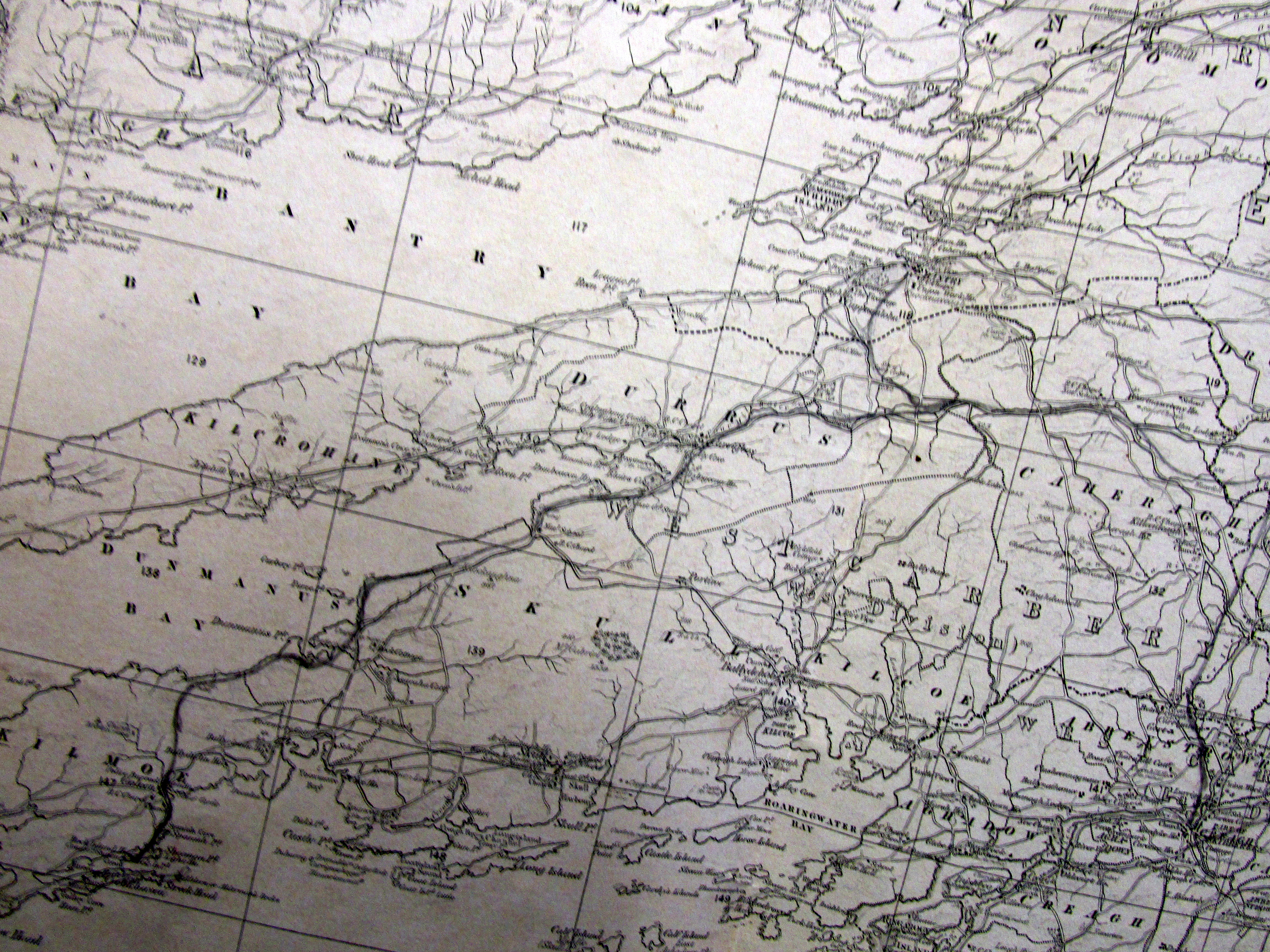
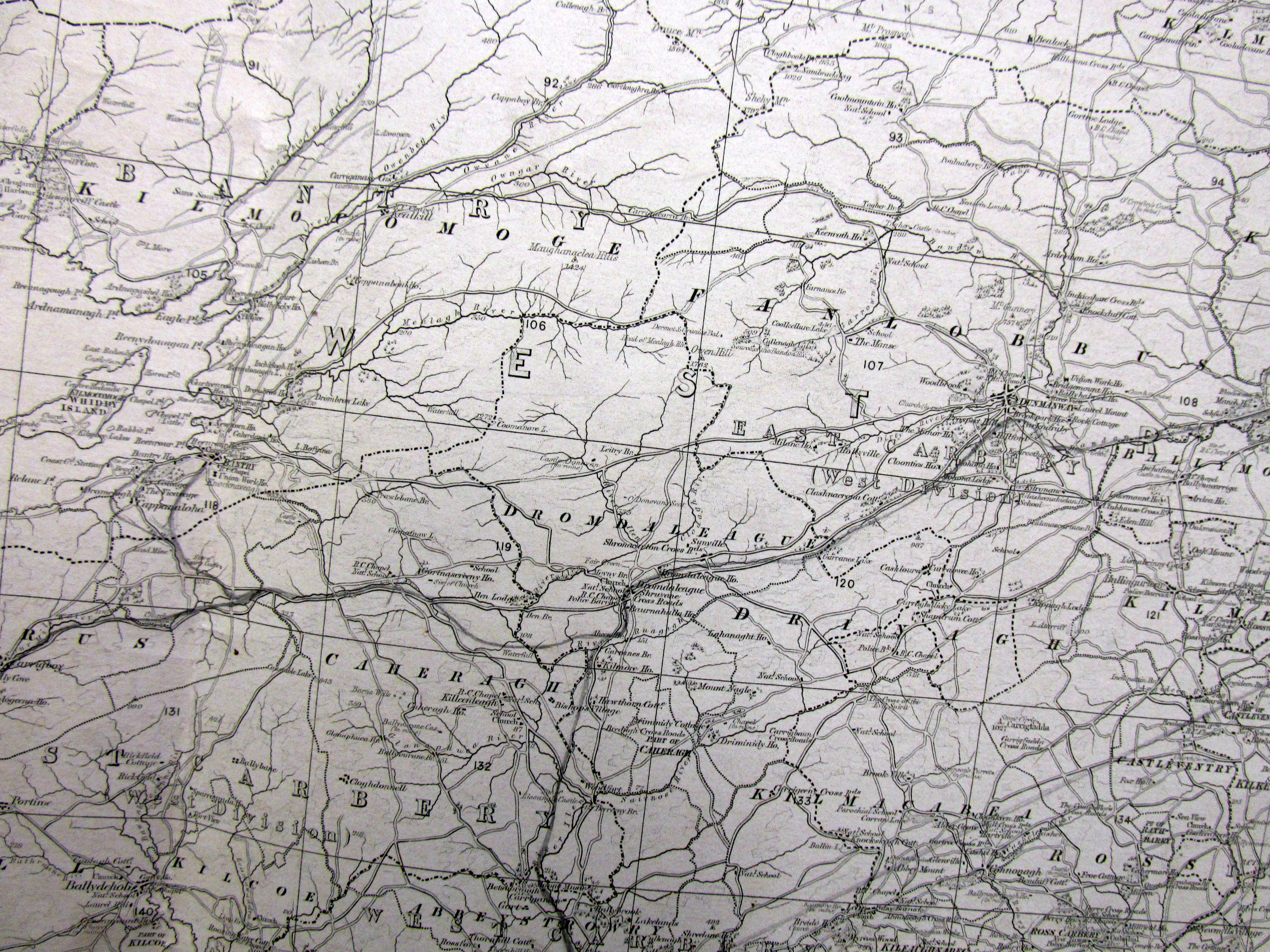
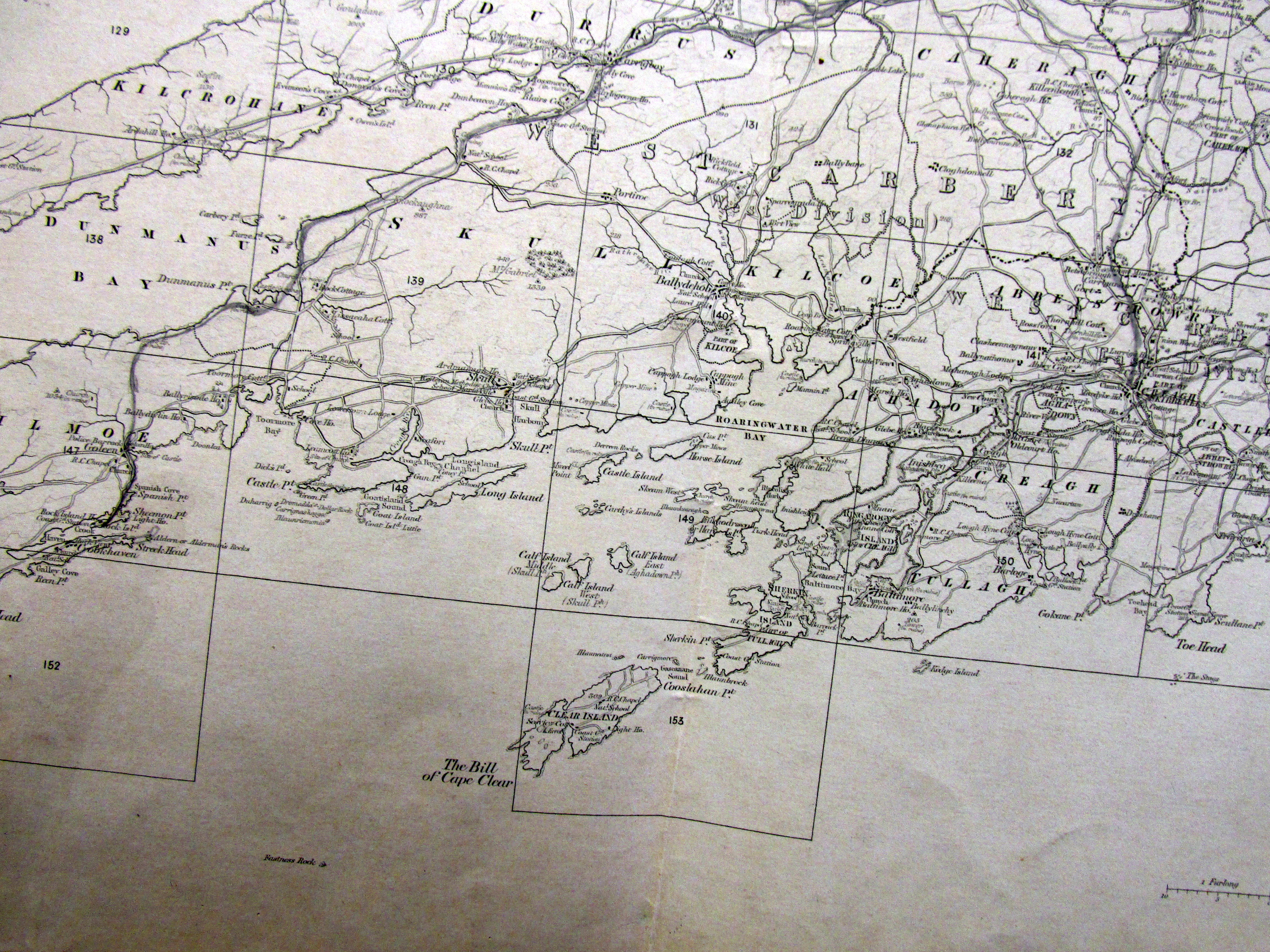
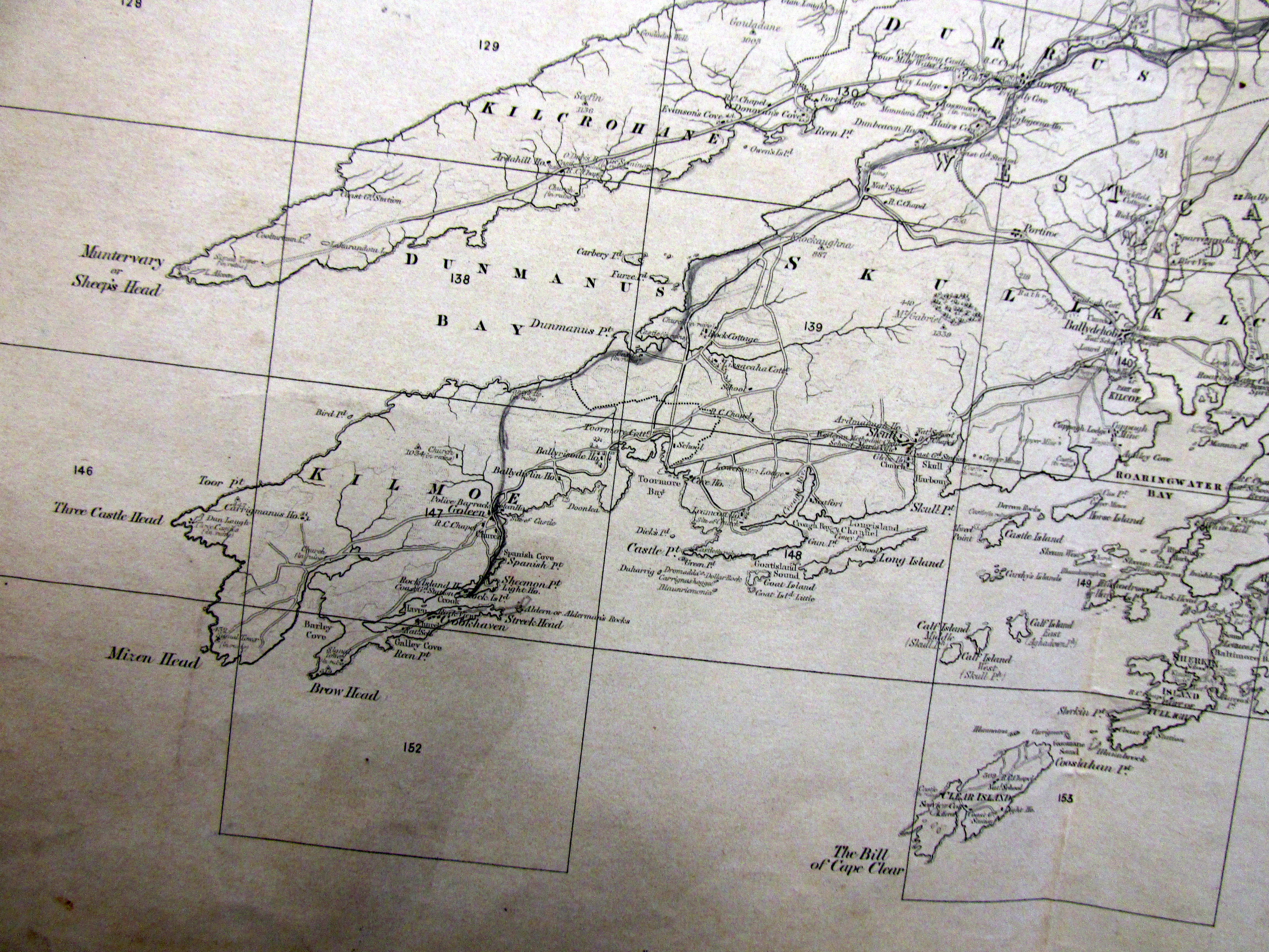
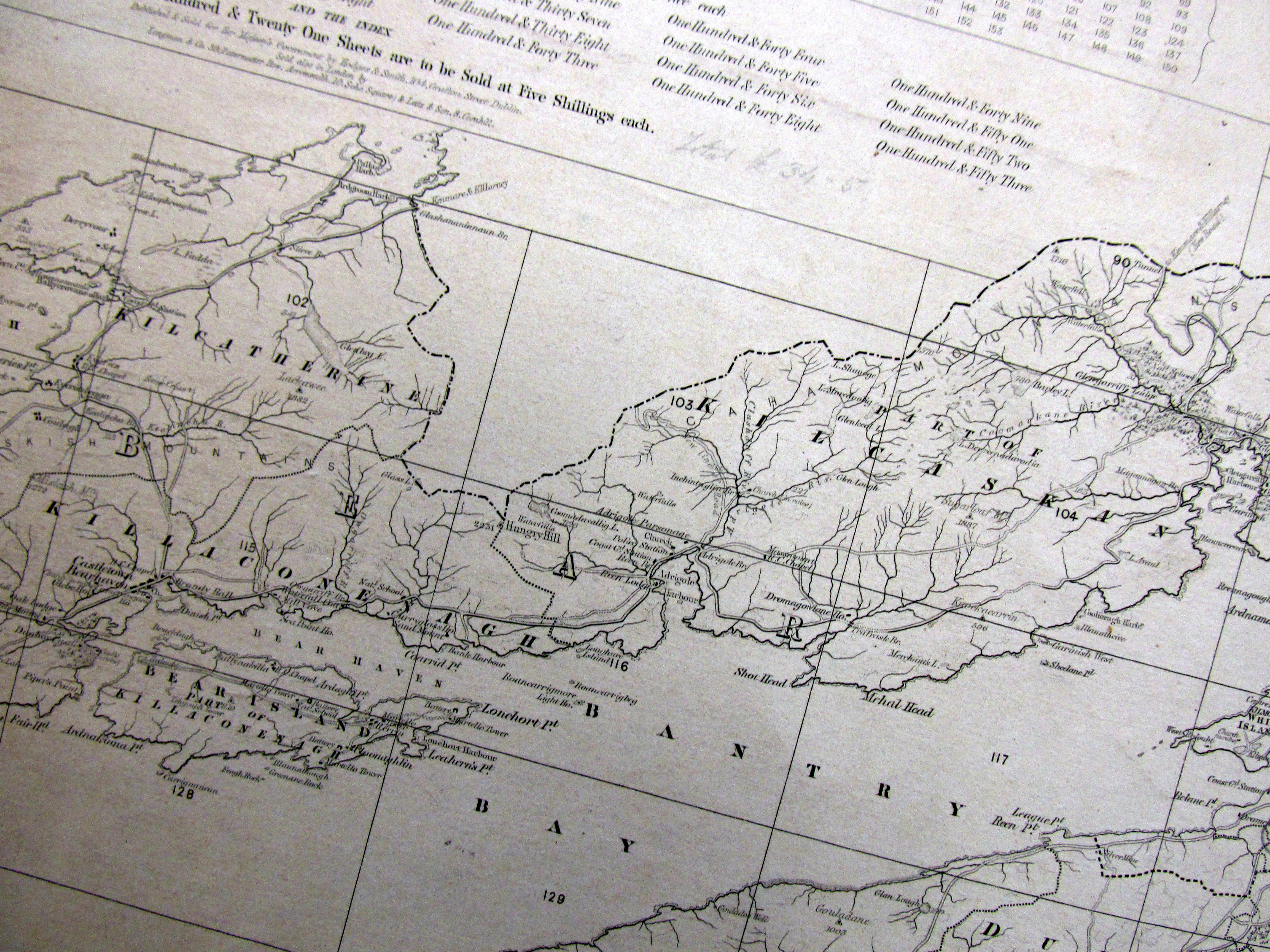
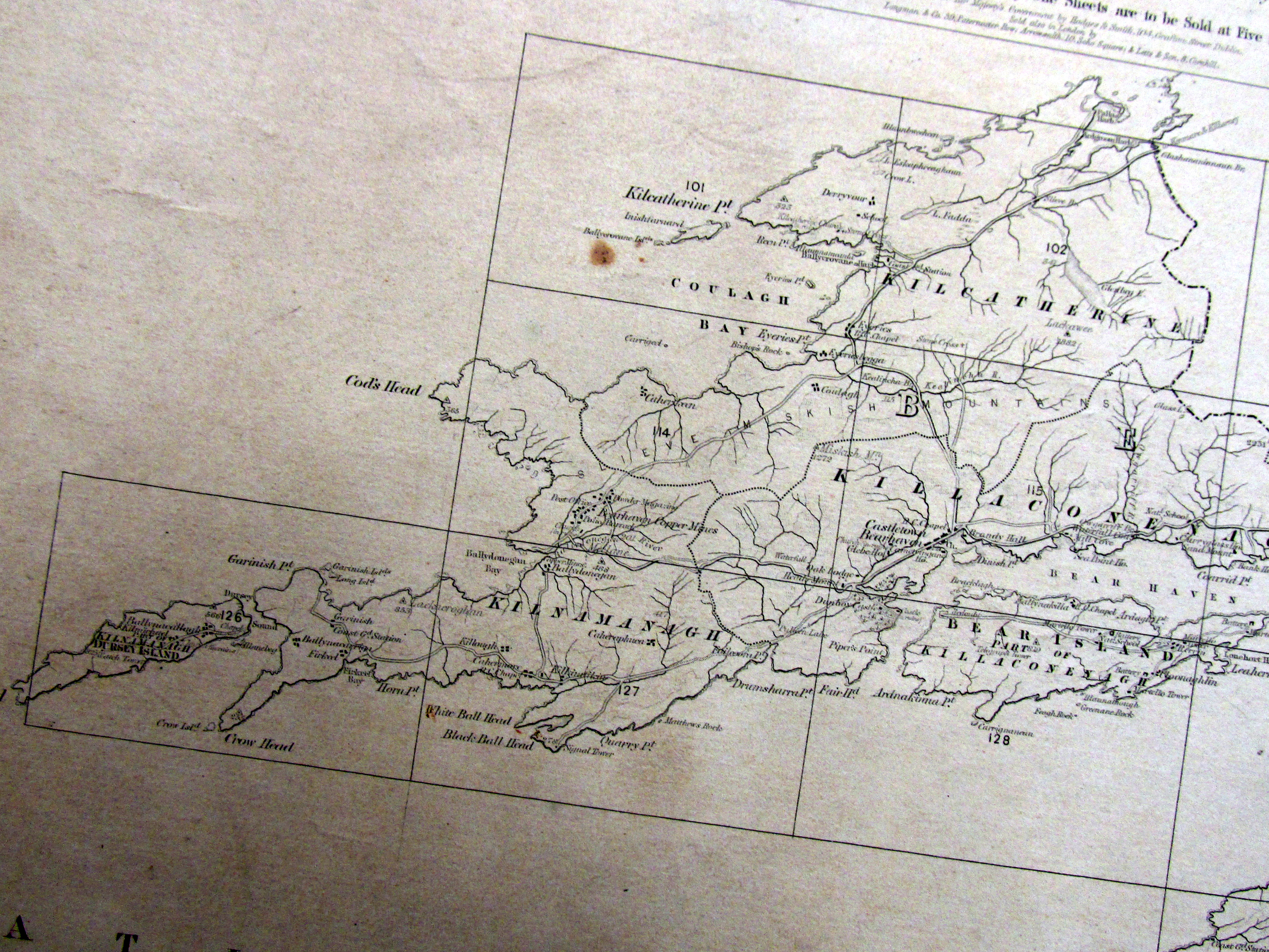
https://www.google.ie/maps/place/Rooska,+Co.+Cork/@51.6568733,-9.5378099,15z/data=!3m1!4b1!4m5!3m4!1s0x4845756ddcedcaf9:0x1800c7a937df8d80!8m2!3d51.6568501!4d-9.5290518?hl=en


Church of Ireland Church and School,  Rooska, Bantry, West Cork built 1868 by Father of William Martin Murphy.  Closed 1988.


Licensed places of Worship and Glenlough and Rooska 1852-1866 these were in schoolhouses.  These were built by the Rev William Moore Crosthwaite around 1850.  Rooska church was closed in January 1988.

Rooska

Some of the services and sermons at these places of worship were in Irish c. 1850, when the Rev. Crosthwaite preached; attended by thirty converts and several poor Protestants who would have to travel six to ten miles if they attended the Parish Church.  Rooska Church was built in 1868 to a design of William Atkins. The builder was William Murphy of Beara the father of William Martin Murphy

The church was reopened in 1894 and in an article reproduced in Francis Humphries’s book; there is a reference to the congregation comprising 65 of the farming class. The large proportion of men especially young men here as in other West Cork parishes was in contrast to the situation elsewhere.  The church underwent redecoration in 1962.   This Church was closed in January 1988.   Notice Celtic Cross on roof. Up to some years ago the church was used for music and dance classes.

Rooska School

The school is listed in 1817 as receiving no Parliamentary grant as no private donations. 1821 through Rev. Alcock 1824 £9 per annum from The Association for Discontinuing Vice. It was  associated with the Munster Bible Society and having 23 boys and 18 girls. There was an application by the Rev. Pratt for the school to be recognised as a National School in 1898.  The file in the National Archives sheds light on the old school which according to Rev. Pratt was built around 1822/1823.  Captain White gave a lease for ever over a free site whereabouts of lease unknown, the informant being the previous rector Rev. Alcock.  The school was inspected by the District Inspector Mr. R.W. Hughes on the 9th February 1898.  He reported the building in fair condition, one room, no privies, stone and mortar, slated and drew attention to some improvements needed.  The local schools were Gurtalasa, 1 mile 70 attending, manager, Rev. D. Foley P.P., Four Mile Water 3 miles, males 68 females 55,  Manager Rev. D. Foley P.P., Durrus 2.5 miles Manager Rev. Pratt 40 pupils.   Other schools shown on a plan were Bantry, Whiddy, Rosnacaharagh and Morreagh (Methodist Durrus).  Normally a school would have to be more than 3 miles from another school, but in this case the application was approved from the 1st January 1898, in the exceptional circumstances of the mountain range preventing children from attending.  It was stated that the teacher had been Mr. John Wolfe who had taught to great satisfaction for over 50 years but was now old and infirm.   He had two sons who were teachers, one, John C. Wolfe was to teach in the school from 1898.  He was 36, had trained at Marlborough Street in Dublin qualifying in 1881/2 and had previously taught at Rossharbour, Co. Fermanagh up to December 1897.  The school had been supported by the Island and Coast Society £20, The Church Education Society £7, The Diocesan Board £5 and the Manager £3. This support was to continue.  The roll was showed 12, females 6, on the day of inspection males 10 females 6.  The average attendance for the previous period was August 10.8, September 12.1, October 3.3 (measles), November 9.6, December 13.3, January 15.2.  The manager felt the numbers would continue to rise and that a number of Protestant orphans were expected.   Mr. Hughes, in accordance with regulations, had consulted with Canon O’Grady and the approval of this on the file is struck out and it is stated that he had written to the P.P. who did not reply but the Curate in Bantry had no objection.   Friction developed between Mr. John Wolfe and parents and he resigned in 1903, he was replaced by Mr. Pattison (Clashadoo) an uncertified teacher as a locum tenens.  His appointment was approved from The 4th May, 1903, he being uncertified in the exceptional circumstances as the manager Rev. Pratt was unable to secure a certified teacher.

Rooska Teachers

John Woulfe Snr. 1848-1897 (b.1823, married Elizabeth Cole, father weaver, servant of Durrus Glebe, 1849, his own father was a labourer)

John Woulfe Jnr, 1898-1903 George  Pattison 1903-

Miss C. Crighton (sister of Miss A. Crighton, The Schoolhouse, Clashadoo)


Estate of Henry Jermyn Esq, Aughadown, Skibbereen, West Cork, 1,275 acres, part survey of Killsarlaghta, Aughadown, 1790 by John Molony, Ploughland occupied by Denis Driscoll and Syeey/Gosnell?? 275 acres, showing also Bishop of Cork and Ross holdings at Aughadown, Dromnacaharagh, Upper and Lower Lisheen, Killhilleen, Bawngoree, Whitehall Roaring Water Road, Deed 1788, and Exchequer Bill 1771 from Stephen Warner Lands of 1740, 1710 Deed Warner/Jermyn, Richard Baldwin v Jermyns, Warners, John O’Hea, Deed 1788, and Exchequer Bill 1771 from Stephen Warner Lands at Tullnaeasky, of 1740, Denis Fenn, Various Jermyns, Warners, 1788 Party of Deeds for Minor Children of The O’Donovan, Only child, Catherine, heiress, married Henry Becher Esq., 1805. Party to 1807 pre Marriage Agreement, Elizabeth McCarthy only daughter of Owen, Caheragh to John Woulfe, Coolcrahan


https://wordpress.com/post/durrushistory.com/7610

Survey 15th March 1727 of O’Donovan Estate, Bawnlahan, Parish of Myross, West Cork Coolagon, Bawnlahan, Coolblaw, Cuppogh 2 Ploughlands 4 sub denominations Brade, Castle Jane, Ffooldoragh, noted.


durrushistory's avatarWest Cork History

https://www.google.ie/maps/place/Myross+Island,+Co.+Cork/@51.5284991,-9.1458248,15z/data=!3m1!4b1!4m5!3m4!1s0x4845ae6564afd551:0x4a5b47a590409925!8m2!3d51.5285005!4d-9.1370684?hl=en

Survey 15th March 1727 of O’Donovan Estate, Bawnlahan, Parish of Myross, West Cork Coolagon, Bawnlahan, Coolblaw, Cuppogh 2 Ploughlands 4 sub denominations Brade, Castle Jane, Ffooldoragh, noted.

1-IMG_4733

1-IMG_4739

2-IMG_4740

6-IMG_4738

5-IMG_4737

3-IMG_4735

1-IMG_4732

4-IMG_4736

2-IMG_4734

2-IMG_4734

1-IMG_4732

View original post

Admiralty Charts Dunmanus Bay, West Cork, Reference Points Ardgoina House (Evanson), Sea Lodge (Evanson). Durrus Court (Evanson) and Beaches of the Peninsula.


Admiralty Charts Dunmanus Bay, West Cork,  Reference Points Ardgoina House (Evanson), Sea Lodge (Evanson). Durrus Court (Evanson) and Beaches of the Peninsula.

Courtesy John Tobin.

The Ardgoina property was built by the Evanson probably early 18th century.  It is extant and has defensive features built in the memory of the 1641 uprising.  The charts were likely done early 19th century adn regularly updated. During the Troubles in the early 1970s one of the Royal Navy survey vessels was blown up.

Rossmore

Gearhameen end, Trá na gCailliní (Stand of the girls).

Rock, Carrigeen Cúl na Horna  opposite Shannon house, demarcated entitlement of people in Cúl na Horna (Upper Clashadoo) to extract sea weed.

Kilcrohane

There you have the following strands:

  • Traig na Teampall – Kilcrohane Pier strand – so called I presume because of the old ruined Christian church in the graveyard. This church was occupied in medieval times by various holy men, one of whom was St Crohane, whose name was attached to the village and townland of Kilcrohane (Cill Crohane).
  • Across the way from this you have Farnamanagh Strand, which roughly translates to ‘land of the monks’. A monastery was built here in early christian times and was a center of refuge for persons of substance from the Iberian peninsula which came under attack approx mid 700’s from the Moorish invasion. According to legend, 2 of the sons of the king of Spain drowned there when one got into difficulties while swimming and the other went to help him. We know from history of the Umayyad conquest of Hispania and in particular the northern Iberian Peninsula during the mid 700’s AD, some of the smaller Spanish kingdoms came under intense pressure and sent their families abroad for safe-keeping during these turbulent times. The Basques and the Galician’s had been coming north to Irish waters for centuries to fish during the Summer and in the process establishing trade and religious links, so it is reasonable to assume that some of these families established places of refuge for their families here.
  • West of Kilcrohane Pier lies Cois na Muica.
  • Further on Gort na Cloise Strand.
  • Duneen Pier. This is a substantial stone construction and was built to enable sailing ships engaged in coastal trade to dock in relative safety. In its time it was a significant port for the export of salted fish and there is also a legend that it was used as a port by brandy smugglers. There is a well hidden cave here which is only accessible during very low tides. The entrance is very small necessitating a person to crawl on their hands and knees which in turn leads to a large chamber which was used for the storage of the contraband.
  • Further west, the last pier on the south side of Dunmanus Bay is Tra Ruaim. This also played a significant part in the substantial Pilchard and Mackerel fishery of the Bay.
  • Just before you reach the tip of the Peninsula lies the settlement of Tooreen seemingly perched mid way on the cliff overlooking the Bay. Looking across you can see Three Castle Head and beyond that the Mizen Head. Below this settlement at the foot of the cliffs lies a natural rock slipway which enabled the inhabitants to safely launch and secure their fishing boats. A large storm in 1949 wrecked many boats in the area and they were never replaced.

Over time additional items not currently listed will be added.